Showing posts with label walking. Show all posts

Friday, 31 August 2012

Cathares and Canadairs

Since we've been here we've somehow stumbled into the habit of taking a few days out during the last week of August to explore and get to know our area better - we call it our Ariège holiday. And this year was no exception - we blocked it in the diary many months ago, and then when we found out that the village boulangerie was also taking its hols this week there was really no argument (unless you're one of the people who wanted to stay with us. Sorry).

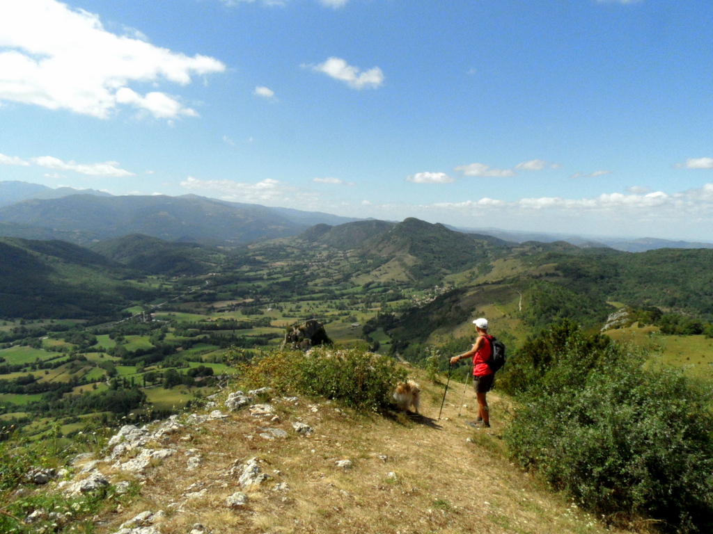
Having spent a manic two days turning the last few hundred kilos of plums (okay, I exaggerate. But not by much) into ice cream, sorbet, sauce, compôte, jelly and sweet chilli jam, we decided to take Sunday gently, starting with a long slow breakfast reading the papers in Foix before setting off on our first walk, a circular walk around and above the ruined Cathare château of Roquefixade and the village of the same name. This is a great walk and one that many of our guests enjoy - short enough for an afternoon, easy enough for almost anybody yet hugely satisfying and with breathtaking views.

Looking down onto the medieval village


First glimpse of the view south

And it just gets better ...
The château is quite literally 'fixed to the rock'

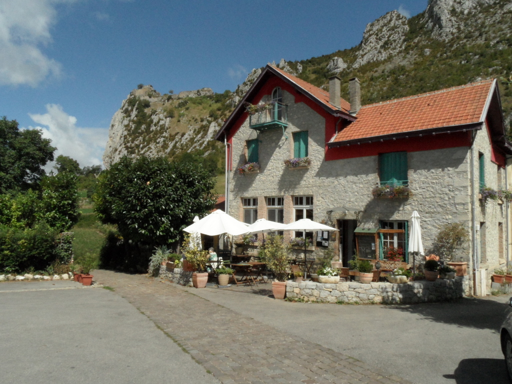
Back in the village, a lovely gîte d'étape for a beer afterwards

Then it was on to Puivert, just over the border into Aude, and one of our favourite campsites:

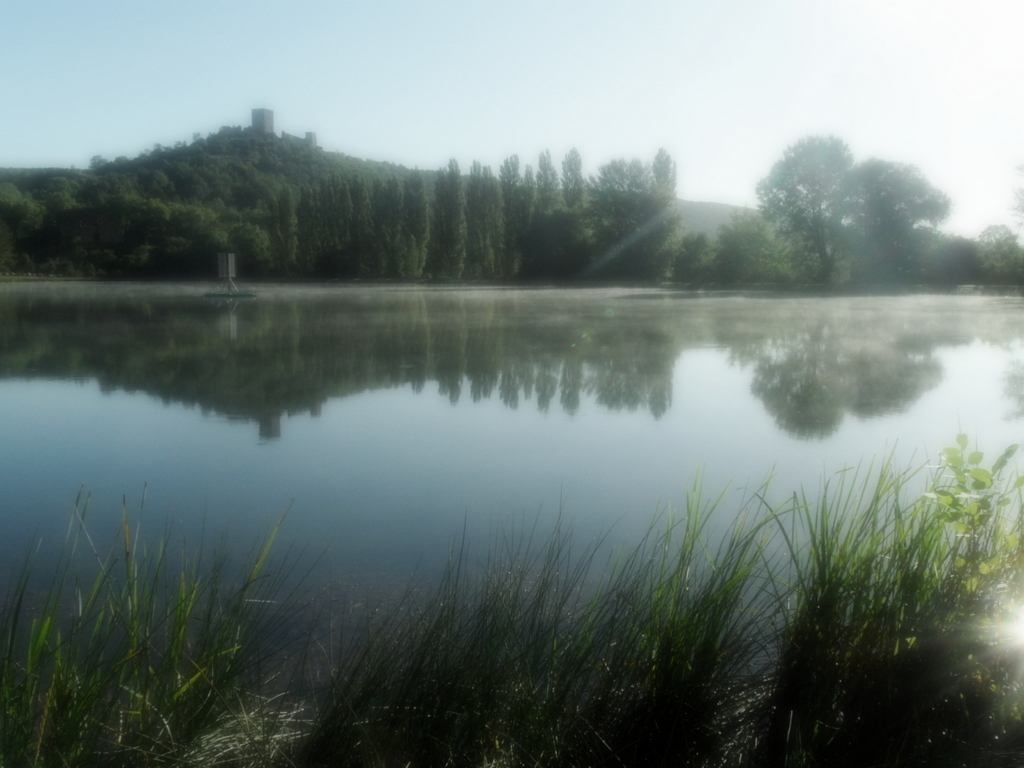
'Our' pitch looks right over the lake 
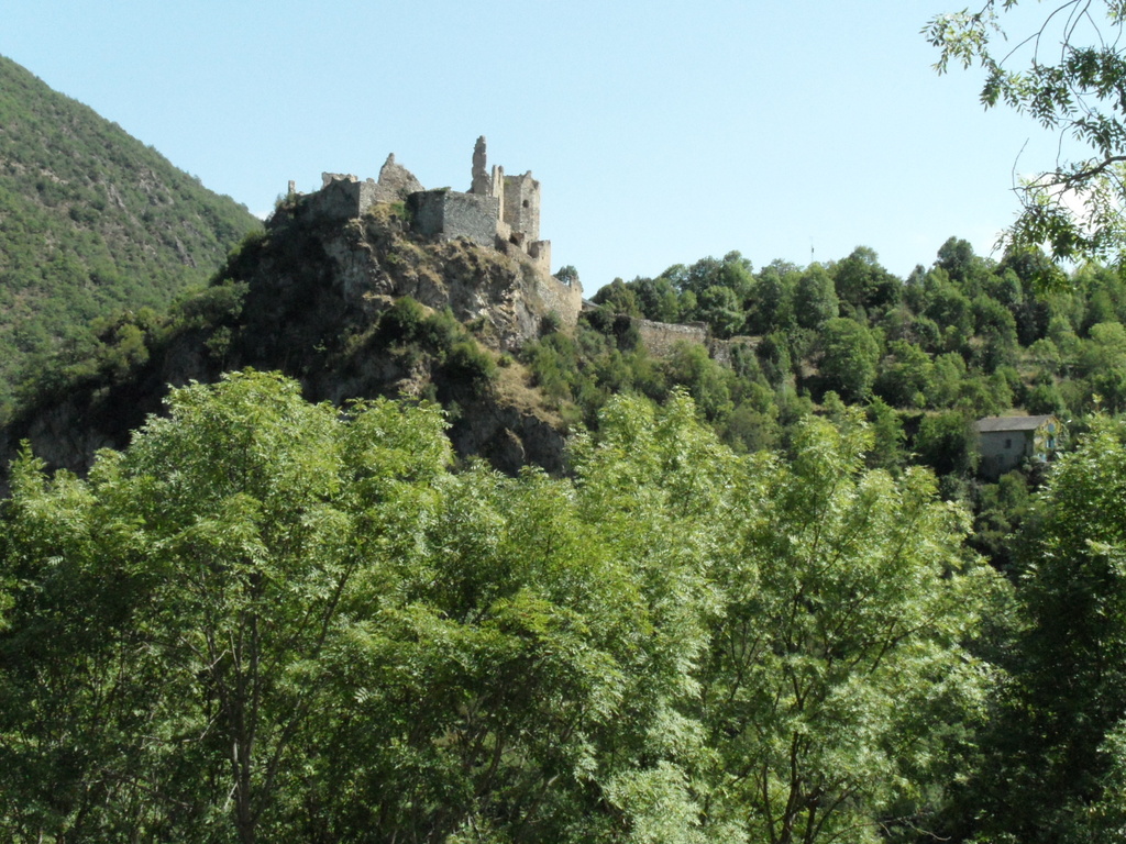
Here's the view - yes, another Cathare château
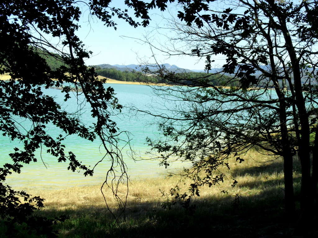
How do you tear yourself away from that? Well, you don't, really - you have a coffee and pain aux raisins, then a swim, then another coffee ... and then it's midday ... Eventually you decide to spend the afternoon walking the part of the path around Lac Montbel, a few kilometres away, that you haven't yet done.

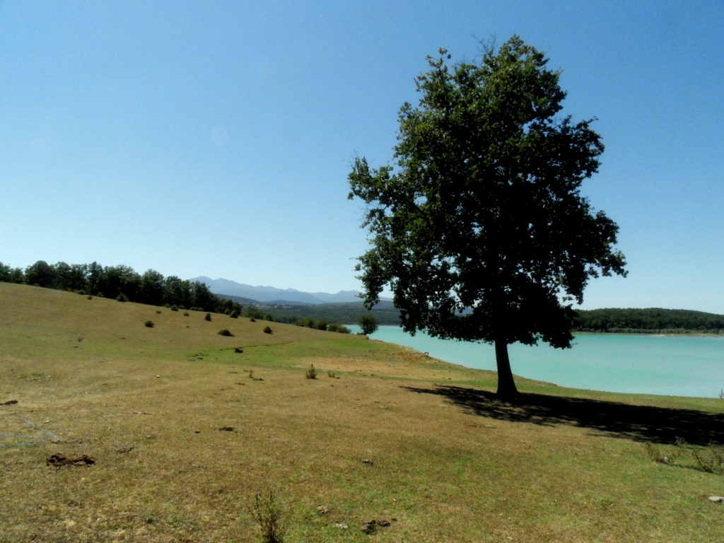
You could think yourself on the Med ...
And yes, the water really is that colour ...
On our way round, I was struck by a very strange, small cloud in a dip over the mountains to the south - it seemed to be a very strange shape. I put it down to a local storm, hoped it wouldn't make its way north, and thought no more about it. After a very hot walk, with no sign of a break in the weather, we landed back at the wonderful guinguette L'Ecume des Jours (recommended, both for its genuine beach shack atmosphere and for its slightly alternative twice weekly concerts) for a beer, and we were just enjoying the bizarre sense of feeling as though we were on a Greek island when suddenly two big yellow planes flew right over us. "They're Canadairs!" I yelled, as I leapt up to see what was what. A Canadair is a water bomber, or fire fighting plane; they fight inaccessible forest fires by scooping up water from the sea or a lake, and dropping it over burning forest. I first encountered them many years ago in Corsica, and although I've watched them several times since both on the French coast and in Greece I've somehow never lost the thrill of seeing them in action. Half the customers of the guinguette followed me over to the beach to wait for them to come back; we weren't disappointed, and cameras clicked wildly, mine included:

So skillful, the way they scoop up the water
I could almost touch this one
Altogether the Canadairs came back 5 times. After the first time, the local pompiers arrived, blue lights flashing, with several landrovers and a boat, presumably in case someone was unfortunate enough to get in the way of the planes. A siren now announced the Canadairs' arrival and drew an increasing number of spectators from the villages around, and the whole place began to feel like a big party. And then suddenly, it struck me. The odd looking 'cloud' that I'd seen nearly 4 hours earlier had been smoke; great chimneys of it were now rising from the exact same spot.

Later, I discovered that the fire had been a reprise of an earlier fire at L'Hospitalet: the one that Margaret wrote about in her blog just a few days ago. Scarier than that, I learned that the new outbreak had been discovered at around 4pm. I'd seen the smoke - although I hadn't realised that was what it was - two hours before that. I shuddered.

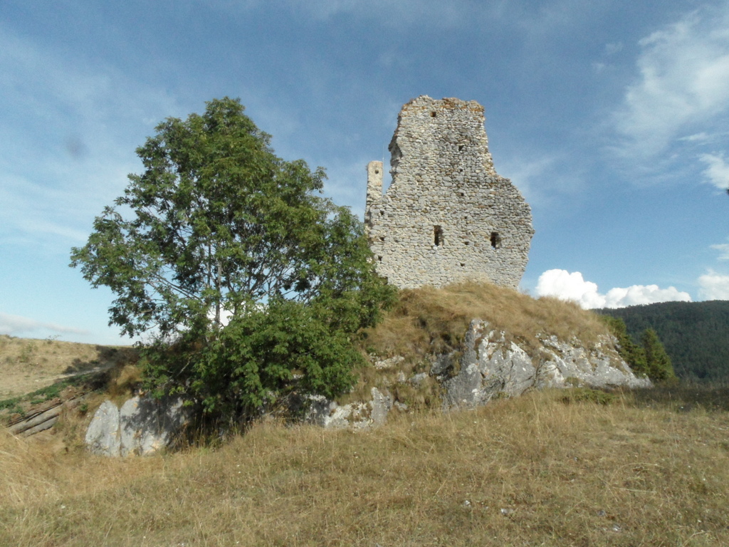
I did a lot more than shudder the next day, though you'll have to wait until the next post to find out why. In the meantime, enjoy a couple more of the Cathare châteaux we took in on the trip:

This is Usson, in Donezan, one of my new favourite places
Montaillou, made famous by the author Le Roy Ladurie

Sunday, 7 November 2010

The Slow Road to Salau

At half past eight yesterday morning it was foggy, and I was up my ladder, paintbrush in hand. At half past nine the sun started to come through. Knowing that it would probably be our last chance this year to get out amongst the extraordinary autumn colours here, we needed no persuasion to down tools and set off in the car on the Slow Road to Salau, the last village in the Haut Salat before the Spanish frontier.


After the obligatory coffee and croissant stop, this time in the bar at Castillon that we got to like so much in our Ariège holiday week, we set off down the Bethmale valley towards the Etang de Bethmale, which must be one of the department's most contemplative places. Amazingly, we had it to ourselves, and could contemplate in peace. After a while the sun disappeared behind the peaks just to the south and we moved onwards to the Col de la Core, a few kilometres away, from where there are amazing views to both east and west. The Col de la Core is part of Le Chemin de la Liberté, a path that commemorates one of several secret escape routes in World War Two; as one whose father spent the war years in the RAF and who as a child was fed a diet of war films, I can't help but find it a moving experience to walk in the footsteps of those who found refuge on these trails.

Our Slow Road took us down through the small town of Seix and out along the valley of the river Salat, through the village of Couflens and then on to Salau where we stopped to explore the small Romanesque church. Salau has, appropriately, a real end of the world feeling. By car there's nowhere else to go but back where you've come from; on foot, however, a three and a half hour walk will take you up to an altitude of 2087 metres to the Port de Salau, the border with Spain. This is a path that's been in use as a trade (and contraband!) route since medieval times and links between those living on either side of the (relatively recent) frontier have always been strong; the first Sunday of August is the occasion for Les Pujadas, a meeting of people who have walked up from both sides to celebrate the links between them.

We didn't have the time to do the whole walk, although it's On the List, and we will, one day, when life returns to normal (!). We did, however, walk briskly up above Salau to two rather impressive waterfalls, one short and fat, the other long and thin, and found ourselves in a lovely but un-named cirque. My map tells me that there are nine springs here that jointly form the source of the Salat. In true mountain fashion the mist started to roll in and within a few minutes we were surrounded by cloud; time to make an excuse and leave.

On the way back through Salau we were a bit taken aback to come face to face with what could have been an inner city estate in Toulouse, or Birmingham, or London: five seventies-style concrete blocks of flats set on a desolate piece of ground just outside the village. Bearing in mind that Salau, together with its neighbouring (larger) village of Couflens, has a population of just 81 people, at a density of 1.4 persons per kilometre, my mind boggled. Google, as ever, was my friend, and later told me that they were built to house workers at the tungsten mines at Anglade, closed in the early 1980s. (But who lives there now????? Some, at least, are clearly still occupied. Bizarre).

And today's been rainy and windy, with a snowstorm of leaves, and I've been back up my ladder. Carpe diem, and all that.

Monday, 13 September 2010

Up among the orris

The swansong to our holiday week saw us making a very last minute decision to take our Quechua pop-up tent away for a couple of nights, to Vicdessos. It was the first camping trip of the year, as evidenced by the ridiculous amount of time and tantrums it took us to dismantle the infamous tent that takes only 15 seconds to put up; we go through this every year, along with half our fellow campers, before we realise that in spite of Decathlon's pretty pictures on the bag it's just not possible to put both blues to both browns before you do that funny twisting thing (if you have a similar tent you'll know exactly what I'm talking about) and you just have to wing it, or ask for help. Still, it's all good for campsite solidarité. At least it would have been, if we'd had any fellow campers to be solid with. This time, in spite of fantastic weather, we were alone, apart from a few semi-permanent caravanners who spent most of their time cleaning their cars and hosing their awnings (or was it the other way round?)

Vicdessos and its twin village Auzat sit up against both the Spanish and the Andorran borders, and at the foot of Montcalm, 3007 metres high and often known as the 'roof' of Ariège. Although only just over an hour from Grillou the scenery here is very different - the valleys are narrow, edged in by tall, rocky peaks, and habitation tends to be gathered together in hamlets, some of which, like Mounicou, remain very traditional indeed. A lot of the walking here is of the 'sportive' rather than the Slow variety - but not all. We chose to explore Le Chemin des Orris, up above the man made Etang de Soulcem.

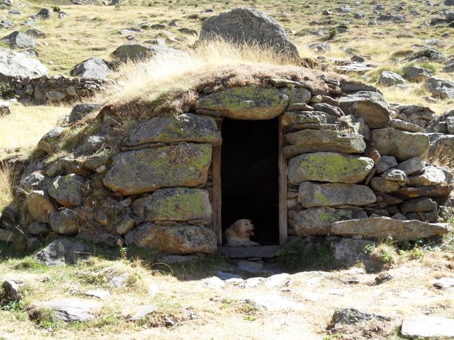
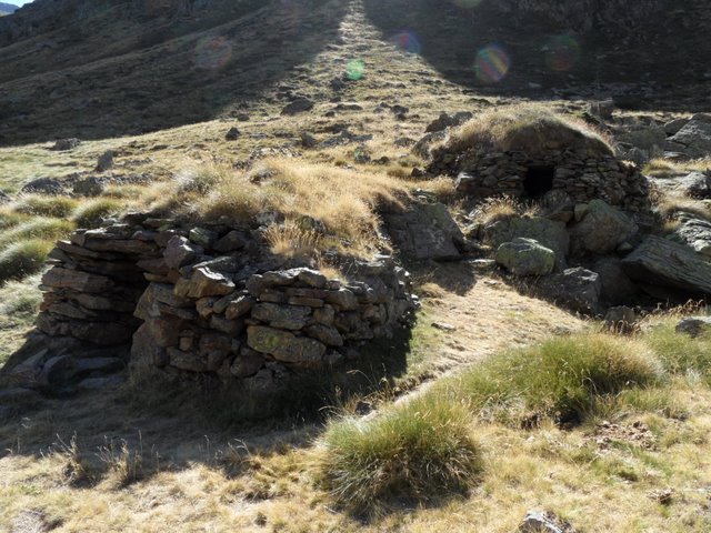
An orri is a low, round shepherds' hut found up on the estives - the summer high pastures - built entirely of dry stone (ie no mortar) and often topped with turf, or sometimes with slate. The design hasn't changed since the Middle Ages, when various confreries or guilds (some of which still exist today) were given the right to construct them on land owned by the local count, or king, or whoever; in some places - and we were in one of them - the orris were grouped into small hamlets, often around a communal courtyard. Until early last century, they would be occupied through the summer months not just by the shepherd but also by a part of his family, while the rest of the family remained down in the valleys to look after the crops; they would be used not just for habitation but also for cheesemaking, for the shepherd was also a fromager. Les Orris de Carla, closest to the lake at Soulcem, were in use until 1968.

To make sense of orris you need to understand the concept of transhumance. The transhumance is the leading of livestock - cows, sheep and horses - from their winter homes in the valleys, along roads, paths and mountain trails, up to the high mountain pastures - the estives. The system evolved during the Middle Ages and is still widely practised here in Ariège today, where it's not only a part of the farming calendar but also now a form of pastoral tourism: many people gather each May or June to follow the transhumance journeys up to the estives, which have become festive and convivial occasions as well as serious work. These days, some farmers have grouped themselves into associations which hire seasonal shepherds and cowherds to look after the animals, whereas others merely pay occasional visits to their livestock, often on a shared rota basis with colleagues. Pretty much wherever you walk in the mountains in the summer you'll come across animals; a few of the estives are fenced, though mostly the animals roam semi-wild, simply being led from one grazing area to another every so often by the shepherd or farmer. The sound of bells is an integral part of any walk in the high pastures.

The pastureland above Soulcem is stuffed full of orris, some of which have been recently restored. Sadly, six more groups of them were flooded when the lake was formed by the creation of a huge barrage. A lovely, and simple, walk takes you from the parking area at the end of the étang - at around 1200 metres - along the valley, either on the piste on the east side of the water or boulder hopping along the streams on the other. Longer and more challenging walks take you up and over the peaks to either side (it's quite possible to walk to both the Andorran, and the Spanish, borders), or in a circle up to a grassy shoulder.

This is one of the Orris de Carla, complete with new occupant:


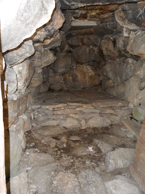
Inside one of the orris - the stone platform at the back would have been used for sleeping, covered in leaves and moss:


Part of a hamlet of orris higher up the valley. This one had an enclosure, and another piece of ground that looked as if it may have been used to grow things.


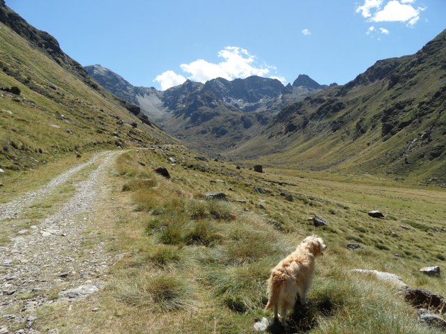
The piste leading from the étang is wide and accessible, though you still get a real feel of being in a high mountain area. Here it feels almost Alpine in character.


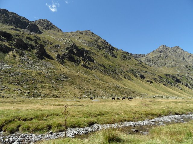
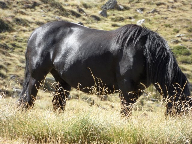
Down on the valley floor, where a herd of Mérens horses were grazing. Mérens are a native breed of Ariège, and are believed the be the closest descendants of the wild horses of prehistoric times.


They are beautiful creatures. Just down the road from Grillou, at La Bastide de Sérou, is the Centre National de Mérens, where you can discover the breed in every which way.


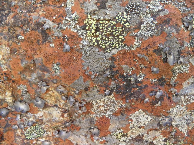
Fantastic lichen formations on the rocks ....


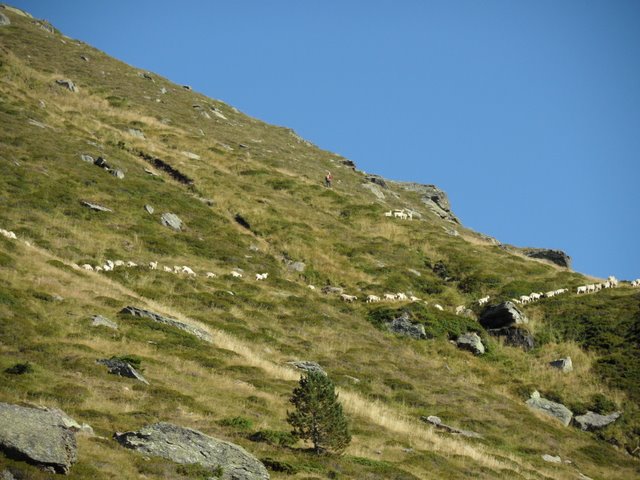
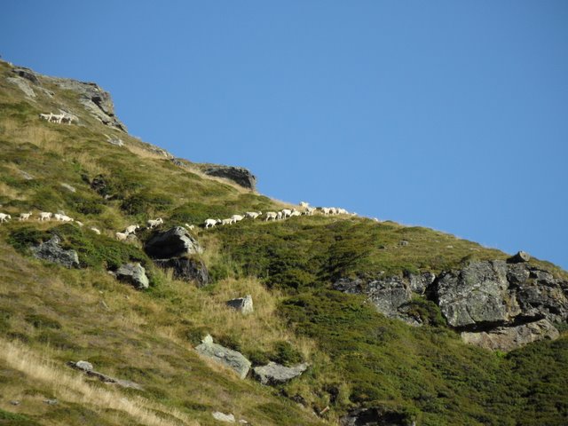
Much higher up the path on the grassy mountainside we encountered a shepherd moving a huge herd of sheep from one grazing area to another. We sat quietly and watched for a long time; the communication between him and his dog, a Border Collie, was almost mystical - none of the arm waving and almost constant yelling of One Man and His Dog (a series of TV programmes popular in the 1980s that set British sheep farmers and their dogs in competition with each other in various sheep dog-y exercises), but just eye contact and the occasional trill or other sound. If you click on the picture to enlarge it, you'll just see the shepherd standing on a rocky outcrop.


The other breed of dog that does this work is the Berger des Pyrénées. Our own dog is (mostly) one of these, though we've no idea whether he comes from a working family as he was originally taken in having been abandoned. However - and I'm aware that this may sound far fetched to some - when we were up in those high mountain pastures it was as if something was calling to him from a collective unconscious ... the way he looked, and listened, and thought ... a particular sort of alertness, a sort of intelligence, that was new. It was as if he was thinking "Hang on a minute ... I know something about this ... I've been here, before ...".


Thursday, 9 September 2010

Taking the Slow Road to the Gorges de la Frau: Part Three

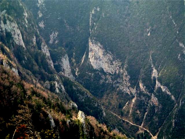
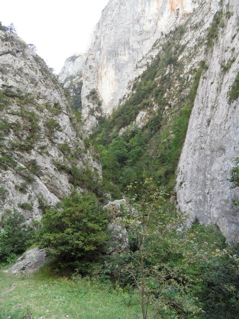
And in staying much longer than we intended, before we knew it it was too late to continue upwards to Le Pas d'Ours, where there is a superb viewpoint over the gorges we'd just walked up. But that's the nature of Slow Walking - the moment is always more important than any pre-fixed plan. Just for good measure, this is what we missed:


Thanks to Gunther at Le Silence du Midi for that photo. See that little snake-y thing down the bottom? That's the path. The very same path that took us almost as long to walk down as it did to walk up, given the way the stones on the steep bits had a distinct tendency to slide from underfoot and take you where you had no intention, or desire, to go. You have been warned ...

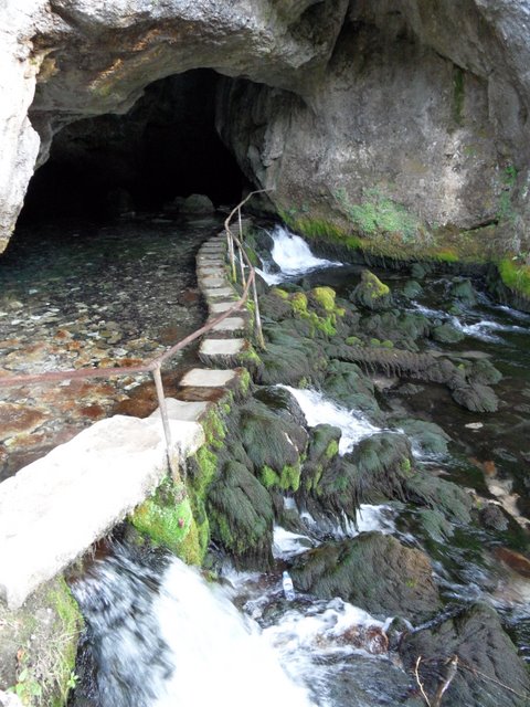
We wound our way back through Belesta to Foix, stopping at the Fontaine de Fontestorbes on the way. Now this is an odd thing. It's an 'intermittent spring', one of only a handful in the world. What that means is that in summer the water flow changes from almost nothing to a raging torrent, and back again, in a cycle that seems to vary between 32 and 70 minutes or so. When we arrived, there was a bit more than a trickle, but not much, and I was just about to follow the stepping stones into the cave when I thought I detected a slight increase in the flow levels.


Sure enough, we'd arrived just at the beginning of a cycle; within no more than 5 minutes the source was belting out water at a rate of knots and the stepping stones were part of a waterfall.


Although it sounds about as exciting as like watching paint dry, it's strangely compulsive viewing (okay, so maybe I have a high boredom threshold). I made a brief attempt to understand the physics behind it - there's an 'idiot's guide' on a panel - but I'm sorry to say that it completely passed me by ... unsurprisingly as my grasp of conventional physics never really got beyond the ball and ring experiment. There's a scarily comprehensive non-idiot's guide here, should you be so inclined. We and a couple of women stayed and watched the water for half an hour or so, filling our water bottles too (ice cold and delicious) until, would you believe, a pensioners' coach party arrived from Toulouse. It was time to go.
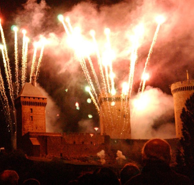
We finished the evening in Foix, where it was the first day of the fêtes locales. A huge funfair had taken over the town centre, and it felt as though the whole of Ariége had arrived to watch the firework display. At 10.30 sharp the streetlights went out, the dodgems drifted to a halt, and everybody gathered below the chateau to wait and watch and ooh and aah. It was magnificent.

Wednesday, 8 September 2010

Taking the Slow Road to the Gorges de la Frau: Part Two

From Notre Dame de Celles, the road snakes over some lovely, hidden countryside below Mont Fourcat (which I confess I'd never heard of), past remote and tiny hamlets - one of which in particular fascinated me as all four houses appear to have their doors opening onto a communal courtyard. The residents must obviously be a lot more tolerant than I am. After a while we hit the village of Montferrier - the main street of which is so narrow that we had to reverse no less than three times before we could pass - where I'm told there is a bar-restaurant, but as I've never managed to locate it, that may be an unfounded rumour (actually, I've never quite 'got' Montferrier - we once went to view a house there but rapidly made an excuse and left, though that of course could just be me ...). Never mind - the scenery is beautiful, and never less than when suddenly the Cathar castle of Montségur appeared before us.


Montségur is probably the most well known of all the Cathar sites and has developed something of a cult following in recent years. In a nutshell, it was the last major stronghold of the Cathars during the Crusades, when it was besieged by the royal troops of the Catholic church for some ten months. When the Cathars there finally surrendered, they were given the choice of renouncing their faith, or being burned. Over 200 of them refused to renounce and were burned in a field just below the castle. Impossible to think about that without a small shiver running up the spine ...


There are legends too: some say that it was the last known resting place of the Holy Grail. And as if all that weren't enough, it surely can't be a coincidence that the building is designed so that on the morning of the summer solstice the first rays of sunlight shine in through the windows on one side, through the keep, and out of the windows on the other side ... (In actual fact, the present chateau apparently post-dates that occupied by the Cathars, which was destroyed by the royal troops, but hey - when did any of us let facts get in the way of a good story?).

Not long after passing Montségur we reached the long drawn out and rather strange village of Fougax-et-Barrineuf. Passing swiftly on, in more ways than one, we took a small road leading to the Gorges de la Frau and drove to the point where the tarmac ran out - the start of our walk. No gentle warm up to this walk: straight away you're puffing up a steep gradient as the path - not much more than a loose pile of rocks at this point - climbs up between the rocks that tower some 400 metres above you to either side.


The gorges are part of a Réserve Biologique, designed to protect ancient forested areas that have somehow managed to remain un-messed-about-with by us humans, and to allow their biodiversity to evolve naturally and with minimal intervention. The gorges are undeniably spectacular, but sadly dry, and I found myself yearning for the sound of running (or even trickling) water.


Some three kilometres later, we emerged from the sheerest part of the gorges into the department of Aude. The path turned into a woodland piste, which we followed for another three kilometres to the village of Comus on the edge of the Plateau de Sault ...


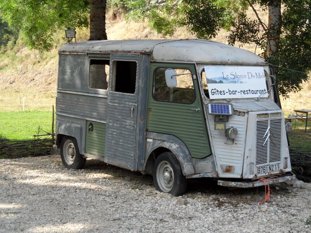
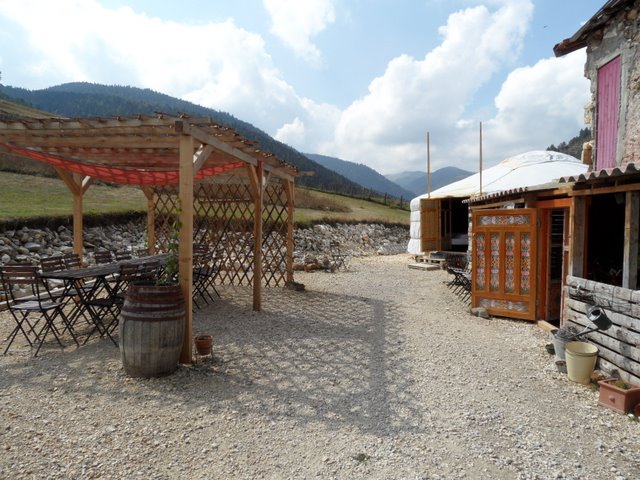
... and to our destination, Le Silence du Midi. How to describe Le Silence du Midi? It's a wonderful, and quirky, domaine that's been created by a Flemish couple who bought the old buildings, then completely broken down, 10 years ago and finally moved in 5 years later: they have rooms, and a couple of gites, and a yurt, and donkeys to stroke or to hire, and a childrens' play area, and space to put up your tent, and a simple restaurant, and they'll serve you drinks (including some great Belgian beers) and food pretty much at any time - for this is their home, and even if you've just popped in for an ice cream you're their guest. They have an eye for the oddball, and have furnished their terraces with 'finds' from the local brocantes. It's a feelgood place, a Slow place, and we stayed much longer than we'd intended.


Thursday, 2 September 2010

Le Cap du Carmil: a balcony on the Pyrénées

The walk we did today is not a famous one. It's part of the GR du Pays de la Barguillère, but not in the major guide books; it's not in one of Ariège's newly sexy valleys like Bethmale or Bellongue. It's tucked away in the Séronais, in the middle of a deeply unspoilt, forested region with great natural beauty but almost no habitation. So what a lot of people don't know is that with a couple of hours and 400 metres or so of relatively easy climbing, a 360 degree panorama is yours, and as if that weren't enough, you'll get to eat your lunch looking at the entire chain of the Pyrénées from Mont Canigou in the east to the Pic du Midi du Bigorre in the west.

After a gentle beginning during which you weave in and out of mixed woodland, you start climbing through an area full of blueberry bushes where the views gradually start opening out on your right.


After a while you reach a gate leading to the estive - summer pasture - area; we passed through herds of cattle (including a magnificent and fortunately peaceable bull), horses and mules who were in the main not only curious about us but sociable too.


The path winds up to a false summit, at the top of which you see that you're most definitely not there yet ... but the views at this point are already fantastic. Another 75 metres or so of ascent and you're on the Cap - a wide, flat, grassy area: the highest point in the Séronais at 1617 metres. Today was slightly hazy, but even so we could see, apart from the chain, the whole of the department of Ariège plus the Corbières, the Black Mountains, the Petites Pyrénées, into Andorra and Spain, and in the distance the first buildings of the built up jungle of Toulouse.


We spent a long time on the end of our binoculars, in particular trying to locate Grillou (not easy as ours is one of the most hidden houses I've ever come across - but we did eventually trace the clearing in which the house and grounds sit).


It was fascinating to be able to see how different pays of Ariège may have no vehicular access from one to another, yet are incredibly close - often just a couple of kilometres apart, yet separated by a huge massif of rock. And it was fascinating too to try and tease out all the valleys that sit just underneath Mont Valier, the emblematic high peak of the Couserans region (the one and only advantage of winter, as far as I'm concerned, is that you can see Mont Valier from our garden - in the summer it's hidden by leaves and you have to content yourself with the view - a full-frontal one - from the track). The day wasn't without ornithological treats either: we were buzzed by bee eaters, possibly en route to overwinter in Africa, and a flock of hobby falcons, and as we ate lunch we spent a long time watching four golden eagles soaring on the thermals.


Oh yes, and when you've come down and it's still hot and your knees are protesting and you've broken your walking pole and you realise that even though you've been outside for much of the summer and it's now September you've got a bit sunburnt, it's less than a five minute hop in the car to the Auberge de Marrous and its lovely garden bar.

Wednesday, 1 September 2010

An afternoon on the rocks

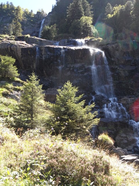
This morning we drove through the Garbet valley - one of the most remote, and sparsely populated, bits of the department - to Aulus les Bains, a miniature spa village specialising, would you believe, in cholesterol. Cholesterol was not, however, the purpose of our visit; we were there to walk up to the Cascade d'Ars, a waterfall in a wild and rocky valley nearby that's reckoned to be one of the most beautiful in the Pyrénées.

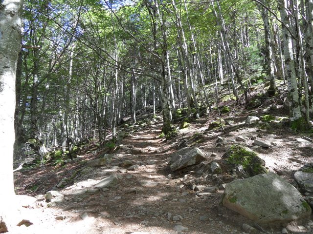
It's not a difficult walk; the path winds up through a beech forest, beginning as a wide rocky track and then gradually narrowing and getting steeper until for the last part you effectively find yourself clambering up a staircase of rocks. 


The river swirls and splashes beneath you, becoming almost gorge like in places. As you climb, the noise of the waterfall gets tantalisingly louder and louder until after an hour and a half or so, and 500 metres of ascent, you get your first awe-struck glimpse of it.


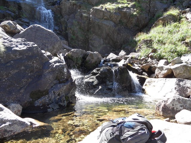
In three sections and some 240 metres high in total, the main - middle - section alone falls for well over 100 metres. The path - at this point the GR10 - takes you steeply up another 150 metres until you're level with the second 'landing' of the waterfall; from here you can clamber over the rocks and sit underneath. And so we did.


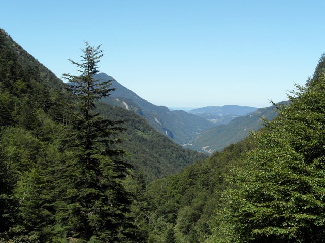
And the sun shone, and a few people came and went, and some raptors flew over head, and the noise of the waterfall was hypnotic and all encompassing. And so we stayed, and all thoughts we'd had of continuing the walk up to the Lac de Guzet were put to one side, for another day. And we lay like lizards on the rocks, and we dreamed, and we looked back down at the valley we'd walked up:


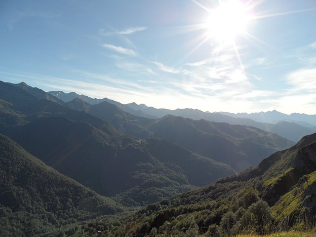
And then in the early evening, we drove back across the Col d'Agnes, and looked down on where we'd been: